Cloud-native geospatial data plane

Serve the data where it lives. Tile it when it moves.

Query object storage and enterprise databases, generate vector tiles from current data, and expose cloud-hosted imagery through a client-compatible ImageServer surface—without forcing every source through a proprietary publish-and-copy cycle.

S3 + MinIOAzure BlobGoogle Cloud StorageOneLakeGeoParquetCOGDynamic MVT
Dynamic vector tiles

Tiles generated from the current query result.

The DuckDB spatial engine creates Mapbox Vector Tiles with ST_AsMVT() for the requested z/x/y view. This avoids treating the tile pyramid as a second authoritative dataset.

REQUEST PATH

View-dependent SQL

  • Transform the tile envelope into the source CRS.
  • Use spatial intersection to read only features in view.
  • Apply CQL2 or application filters before encoding.
  • Clip and quantize geometry into a PBF response.
  • Cache responses where workload and data volatility allow.
OPERATIONAL EFFECT

Edits do not wait for a cache rebuild

  • Database or FeatureServer edits remain in the feature store.
  • Subsequent tile requests reflect the updated source.
  • The same table remains queryable through OGC API Features.
  • Transactional workflows and visualization share one schema.
  • Stored MBTiles/PMTiles remain available for immutable basemaps and DDIL use.
Cloud data lake access

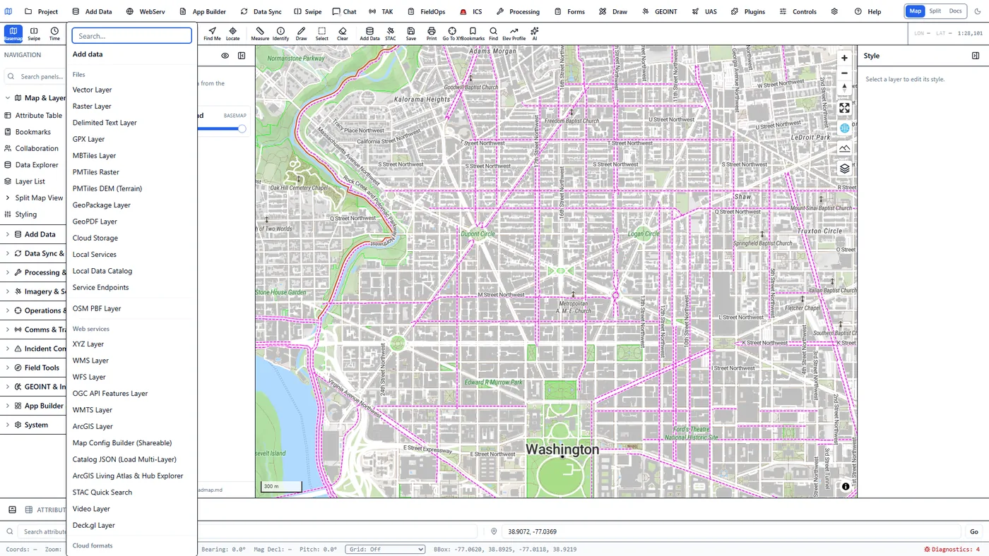
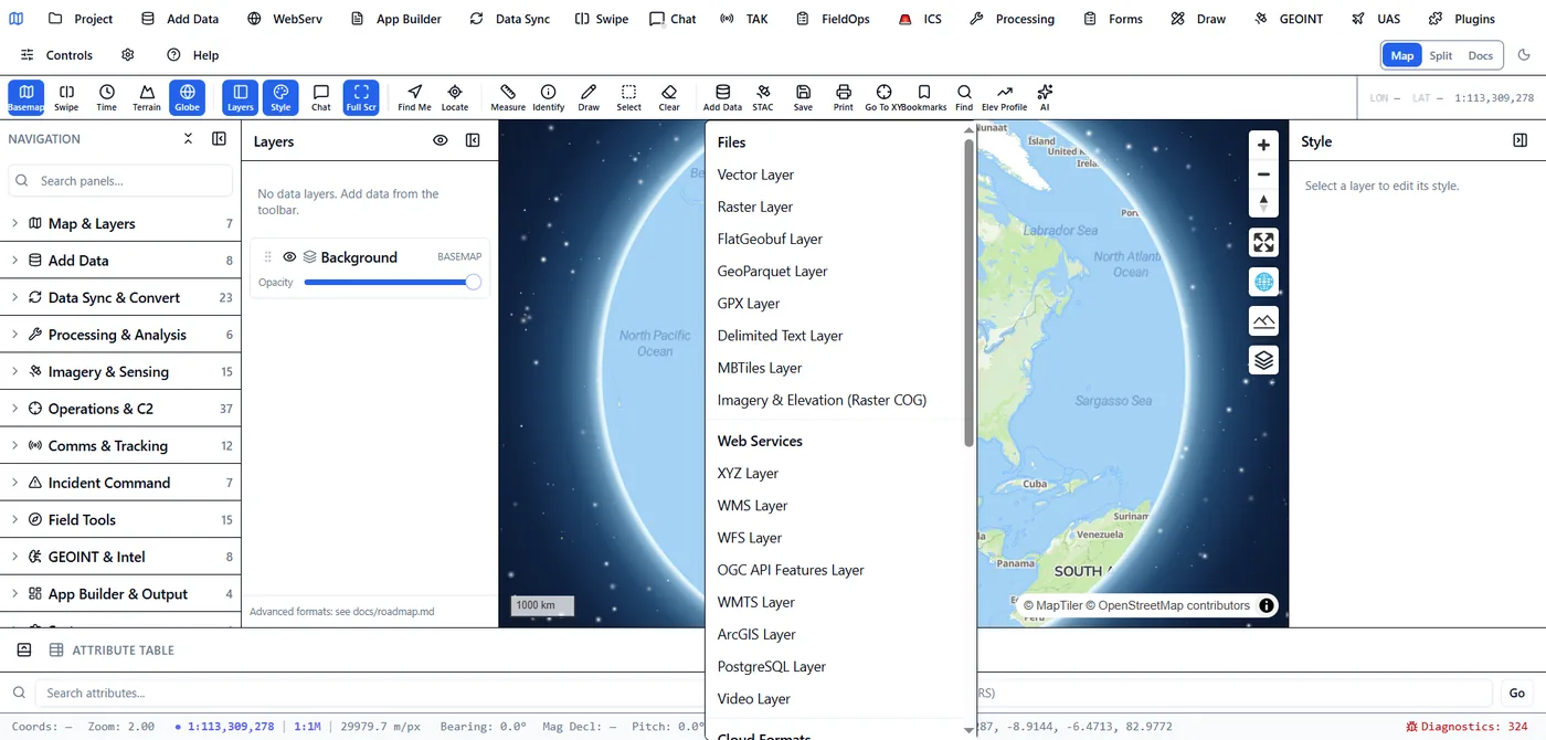
Use spatial SQL across object stores without bulk-loading first.

DuckDB httpfs, spatial, Azure and Delta extensions provide a zero-copy query path with projection and predicate pushdown where the underlying format supports it.

SourceConnection modelData pathsWhat the engine can do
Amazon S3 / MinIOAccess key/secret, endpoint and region; anonymous public buckets supporteds3://, S3-compatible endpoints, HTTPSBrowse objects, inspect schemas, query Parquet/GeoParquet/CSV/GeoJSON, register spatial result collections
Google Cloud StorageHMAC interoperability keys through the S3-compatible APIgs:// and configured endpoint accessBrowse, query and register cloud datasets through the same SQL workflow
Azure Blob StorageStorage account/key or SAS-oriented deployment configurationaz://, abfs://, HTTPSBrowse containers, query supported columnar/spatial files and retain source-aware connection profiles
Microsoft Fabric OneLakeAzure storage semantics plus DuckDB Delta extensionOneLake ABFS endpointsRead Delta Lake table directories with delta_scan and join to spatial sources
HTTP/HTTPSPublic or signed URLRemote Parquet, CSV, GeoJSON, COG and PMTilesRange-read cloud-optimized assets or query supported tabular formats
Enterprise databasesSaved, credential-redacted connection profilesPostgreSQL/PostGIS, MySQL, SQL Server, Oracle, Snowflake, ClickHouse, BigQuery, SQLite, DuckDBDiscover tables, execute SQL, map business data to geometry and register tables as service collections
Imagery without relocation

Remote COG to ImageServer, byte range by byte range.

A Cloud Optimized GeoTIFF in a web-addressable S3, Azure Blob, GCS or compatible object-store endpoint can be registered by HTTPS URL. A public object or time-limited signed URL is the straightforward secure pattern in the current range reader.

HEAD

Discover size and validate access

The server checks the remote object and reads TIFF metadata without downloading the complete raster.

206

Read the required windows

HTTP Range requests fetch IFD metadata and the image blocks required for the requested map extent and resolution.

ESRI

Expose an ImageServer contract

ArcGIS ImageryLayer-compatible metadata, exportImage, identify, samples, histograms, statistics and appropriate tile endpoints.

COG

Keep the cloud-optimized source

The object remains a standards-based GeoTIFF that GDAL, QGIS, rasterio and cloud-native pipelines can also use.

One source, many contracts

Reduce service sprawl without reducing client choice.

Virtual collections are the core abstraction: a queryable dataset is registered once and presented through the interface each consumer expects.

SourceGeoParquet in S3PostGIS tableSharePoint listGeoPackage feature table
Virtual collectionSchema and geometry metadataSource-aware SQL expressionFilters, paging and CRSOptional write-back adapter
SurfacesOGC API FeaturesFeatureServerDynamic MVTDashboard and application widgets
The architectural difference

Open storage and late-bound services.

The comparison below describes the 3DGeoServEngine design relative to common publish-and-cache GIS deployments. It is not a claim that no other platform can be customized to achieve similar patterns.

ConcernConventional publish/cache pattern3DGeoServEngine pattern
Vector visualizationGenerate and maintain a separate cached tile product.Generate MVT dynamically from the current spatial query, or use a stored tile archive when immutability is preferable.
Cloud imageryCopy imagery into a managed raster store or build a platform-specific mosaic/service definition.Register a remote COG URL and expose it as ImageServer while retaining the original cloud-native file.
Client compatibilityPublish a separate service for each client/protocol.Expose multiple service contracts over the same virtual collection.
Analytical accessETL data into the GIS datastore before spatial query.Use DuckDB to query supported object-store formats in place and materialize only when performance, governance or DDIL requires it.
Offline/edgeDepend on the central portal and prepare offline packages separately.Use the same service binary with staged GeoPackage, MBTiles, PMTiles and COG data at the edge.

Turn one cloud bucket into a governed, multi-protocol geospatial service pilot.

Design the data-lake pilot →